
When is the best time of day to see whales?
- Elding's research team

- Apr 8, 2020
- 4 min read
Updated: May 30, 2020
When is the best time to see whales?
This is a frequently asked question done by our passengers when they are coming on board. Surprisingly, such a simple question is not so easy to answer. All relies on food availability and there are many factors that might influence where and when whales can find it.
Weather conditions
“If you don't like the weather, just wait five minutes”. Finding whales with the adverse conditions might be challenging and Icelandic weather is extremely unpredictable. Iceland is located in the middle of two convection areas, from one side we have the Gulf Stream bringing masses of warm air from the south, and from the other we have the arctic sending cold air from the North Pole. That's the perfect mix for storms to form so we are frequently “hit” by low pressure fronts. In fact, meteorologists usually call the semi-permanent low-pressure front between Iceland and south Greenland the “Icelandic low”, which means that the south-east part of the island is more exposed to suffer from weather “variabilities” than any other part in the country. To add more difficulties, we have something called the North Atlantic Oscillation (NAO), a large weather pattern that fluctuates up and down along the north Atlantic for periods of years or decades, making summers or winters warmer or colder depending on the scale of the “swings”.
Oceanic currents
Generally speaking, Iceland is considered as a feeding ground for cetaceans. Meaning that it's more likely to see the “big” whales during the summer months as they are massively coming to feed over fish stocks all around the island. Where and when to find the food that they require is a tricky question too (and one that fishermen are also pursuing). The Irminger current moves clock-wise around Iceland distributing warm water in coastal areas, but it meets the east Greenland current in its way, cooling it down. When two masses with different temperatures meet, exciting things happen and it creates a great combination for fish to be born, spread and reproduce.
Local landscape
The seabed is not uniform. Mountains, deep canyons, great plains or trenches are just some of the terrain features we can find underwater. In the case of our bay, Faxaflói, it is predominantly flat with a mix of sand and gravel but it is half-crossed by a deep canyon which connects with the mid-Atlantic ridge (a huge scar that divides the Atlantic Ocean in two halves). These local variations have a significant impact in fish distribution as they are usually found in the edges between different topographies.
Food availability
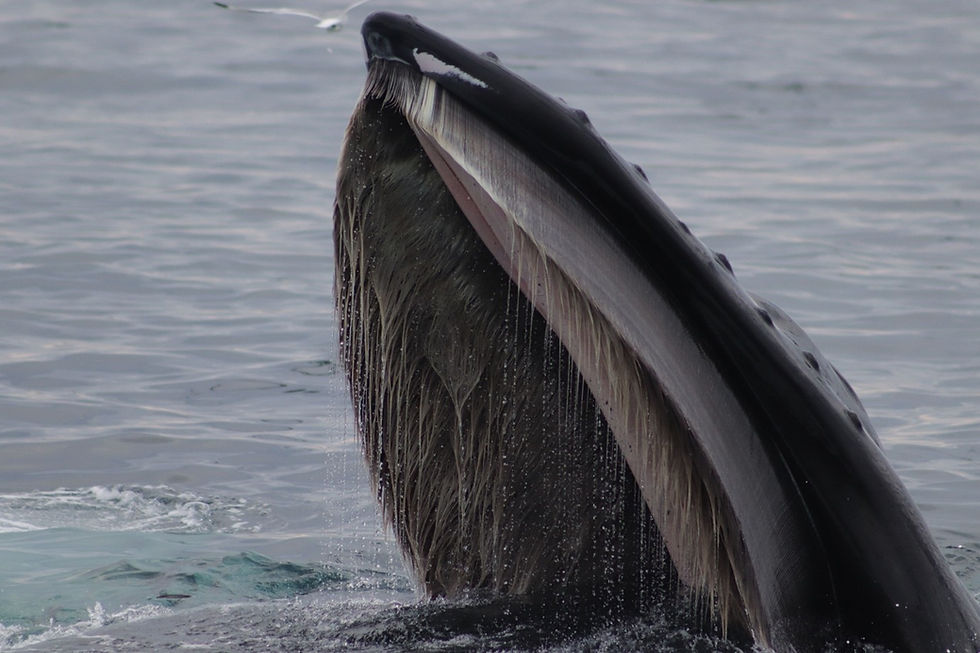
The whales that we usually see in Faxaflói are minke whales and humpback whales as well as white-beaked dolphins. They mainly feed over schooling fish such as sandeel, capelin or herring. These species are dynamic move, just like the whales. They are after food and during the summer time their presence increases due to another important actor in the marine ecosystems: plankton. Billions of tiny plant organisms appear in the Icelandic coastal waters during the warms months. Light availability (daylight of 24h) boost the primary production; phytoplankton and zooplankton emerge massively and they feed the entire trophic-chain from the tiny sandeels to the massive blue whales in an endless cycle of life.
Time of the day
Tides are one of the greatest powers of the oceans, moving millions of tons of water between ebbs and floods every 12 hours. Such movements affect the distribution of whales in their foraging areas, as the water masses (and organisms within) are carried away. Thanks to our research programme, we are able to track and record the sightings we have during our tours. We write down not only the species, but also number, location, date and time in SpotterPro®, an iOS 'App' that facilitates in-field data capture for conservation management (www. http://conserve.io/). Our results from last summer show that there isn't a clear pattern to reveal which time of the day is the best to see whales (see map 1). Most of the sightings are clustered between an area where there are two major depressions. This indicates that cetaceans are probably gathering where they can find food, and according to our records they don’t mind morning, afternoon or evening as these areas overlap.
Luck
If weather conditions, oceanic currents, location, food availability, tides and experience of the crew all combine together, we can have a great experience and enjoy these majestic animals. After all, it's about being in the right place at the right time.

Map 1. Distribution of sightings' hotspots according to daytime during the season 2019 (June-September) in Faxaflói. Each hotspot represents an area in which 1 or more sightings of cetaceans have been recorded within a distance of 1000 m. to each other. In pink, it is represented the sightings before noon (<12 pm), and yellow for the sightings after noon (>12 pm). The gradient yellow-pink represents the merging areas between them. Data gathered with SpotterPro® and represented with QGIS.
Article written by researcher Rodrigo A. Martínez Catalán


Comments